
Dozens of flights have been cancelled at Belfast City Airport and Dublin Airport as Storm Ashley continues to cause disruption.
The Met office has issued an amber warning for western counties from 13:00 BST to 20:00. However, a yellow warning for wind remains in place for all of Northern Ireland until midnight.
Gusts of up to 115km/h (70mph) have been predicted.
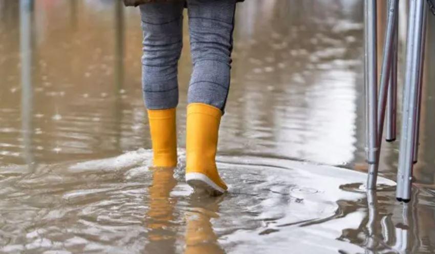
Those winds could cause power cuts, damage to buildings, and more travel disruption.
Met Éireann, who issue warnings across the Republic of Ireland, named the storm and issued its second-highest level of warning – Status Orange – for counties including Galway and Mayo, from 10:00 local time on Sunday until 20:00.
In a passenger update posted on X, formerly known as Twitter, Dublin Airport said weather conditions had led to some airlines cancelling flights.
The cancellations mainly affect Aer Lingus flights.
Meanwhile Stenaline and P&O sailngs between Northern Ireland and Scotland are heavily affected, with most sailings on Sunday cancelled.
Translink is also warning of possible disruption to the rail network on Sunday, due to the weather conditions.
Northern Ireland’s Department for Infrastructure said temporary tidal flood defences were being deployed along the River Lagan at high-risk areas such as Lockview Road and Cutters Warf in south Belfast.
Newry, Mourne and Down District Council said the district’s four forest parks (Castlewellan, Delamont, Kilbroney and Slieve Gullion) are closed to vehicles due to the risk of falling branches and debris.
Fermanagh and Omagh District Council have also announced closures of some outdoor council facilities, including Gortin Glens Forest Park.
And in the Derry City and Strabane District Council area, all public parks and grass pitches are closed as are recycling centres at Pennyburn, Strathfoyle, and Strahan’s Road.
Armagh City, Banbridge and Craigavon council announced that there may be a delay in opening household recycling centres on Monday.
Very strong winds are forecast across the whole of Ireland and parts of Great Britain, especially Scotland.
Along exposed coasts and high ground, gusts may reach up to 70-80 mph (113-129km/h).
The entire west coast of the Republic of Ireland is under a ‘Status Orange’ warning.
That’s the second highest level of warning and indicates an increased risk of damage and disruption.
Met Éireann is forecasting coastal flooding, difficult travel conditions, and dangerous seas along counties Clare, Kerry, Donegal, Galway, Leitrim, Mayo, and Sligo.
A yellow warning was issued across the rest of the country from midnight on Saturday until 03:00 BST on Monday.
The latest storm name season started on 1 September and will be used until 31 August 2025.
Ashley is the first name on the alphabetical list so the next storm would be named Bert, followed by Conall.
Storms can be named by the Met Office, Met Éireann or the Netherlands meteorological service (KNMI) if any believe impacts from severe weather are “medium” or “high”.
It is thought that by naming storms, it gives the public a greater awareness of the potential impacts of severe weather.


